Our Work
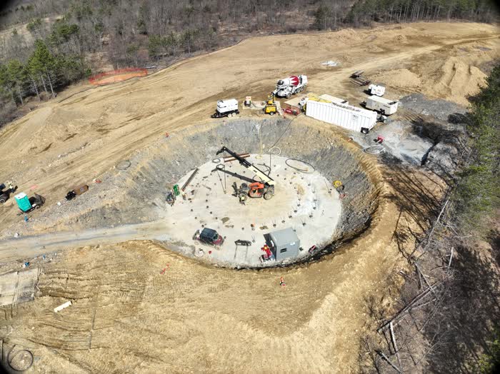
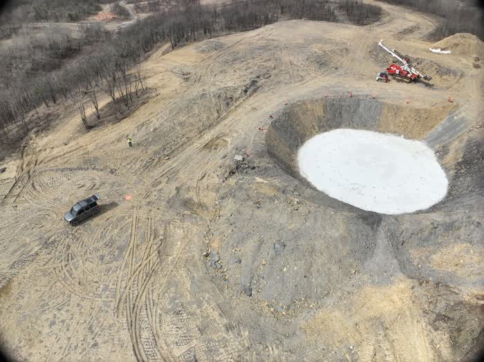
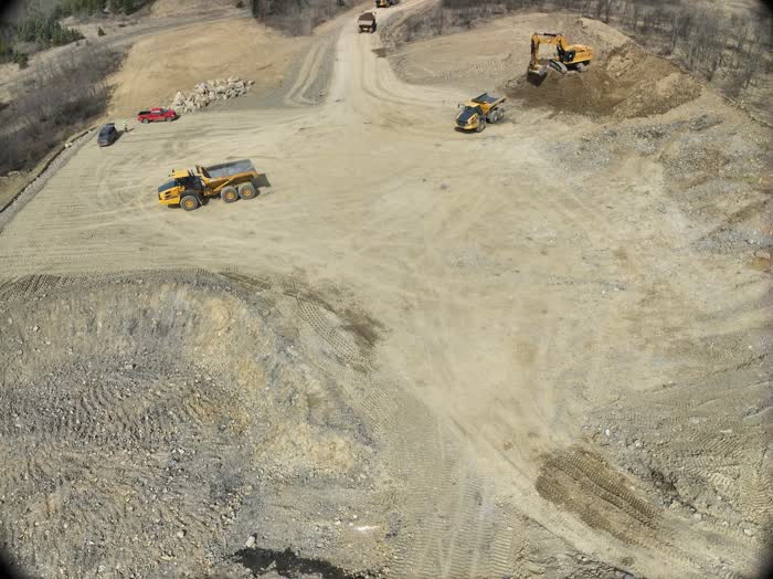
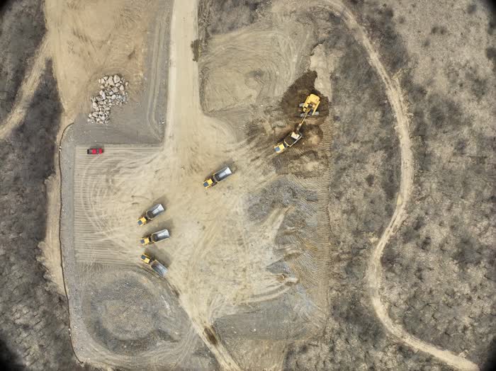
Aerial Gallery

Cutting-edge drone technology meets precision engineering. Professional aerial solutions powered by Spinventive innovation.
Our Capabilities
High-resolution 4K/8K capture with HDR imaging and 360° panoramas.
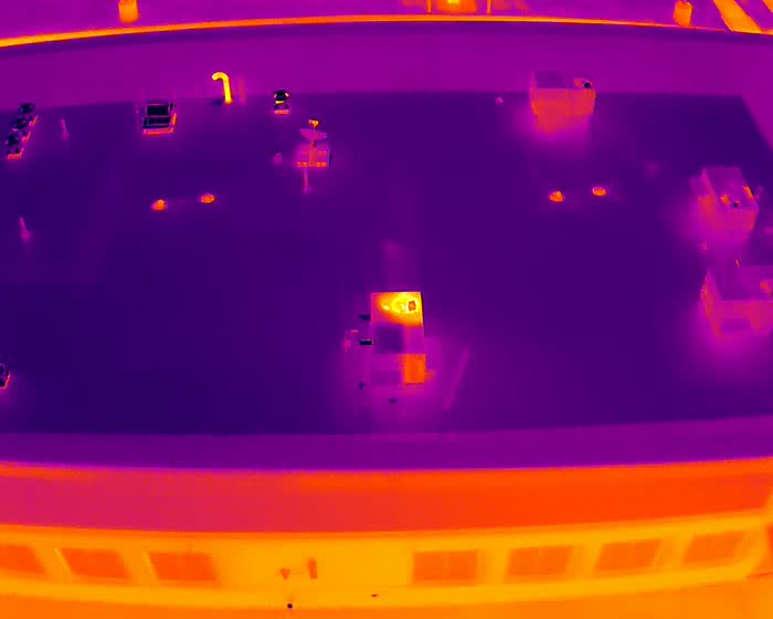
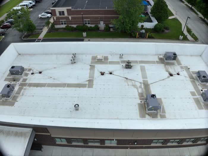
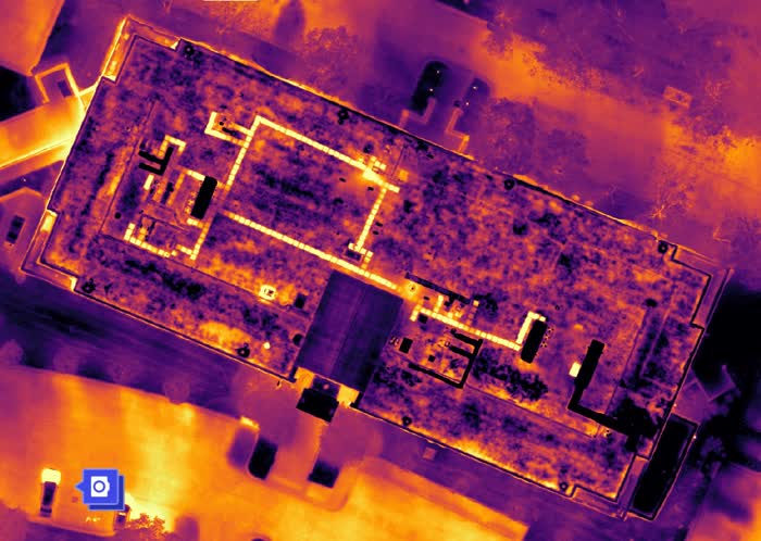
Safe inspections using thermal imaging and AI-powered analysis.
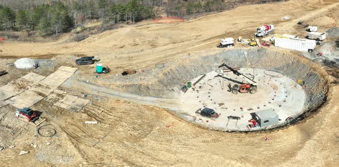
Precision topographic mapping and 3D modeling for construction.
Professional aerial cinematography with smooth tracking shots.
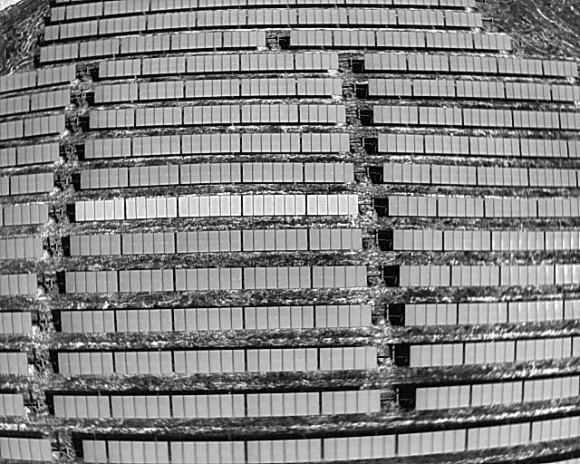
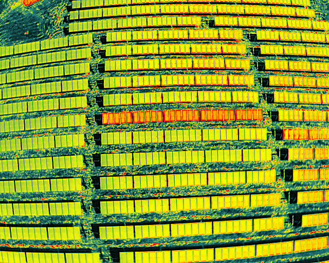
Crop monitoring with NDVI analysis and multispectral imaging.
Showcase properties with stunning aerial views and virtual tours.
Our Work
Technology
As part of Spinventive, we leverage cutting-edge AI, advanced sensors, and proprietary software to deliver unmatched aerial intelligence.
Machine learning for automated defect detection and pattern recognition.
Encrypted data transmission and secure cloud storage for all projects.
Real-time data sync and collaborative workflows across teams.
Comprehensive reporting with actionable insights and visualizations.
Multi-spectral and thermal imaging for detailed data capture.
Streamlined processes from capture to delivery and reporting.
About Us
Fully certified commercial pilots
Comprehensive coverage
Latest drone technology
Technology & innovation expertise
Contact
Ready to elevate your perspective? Get in touch with our team.
Pennsylvania & Surrounding States
Monday - Saturday: 8AM - 6PM